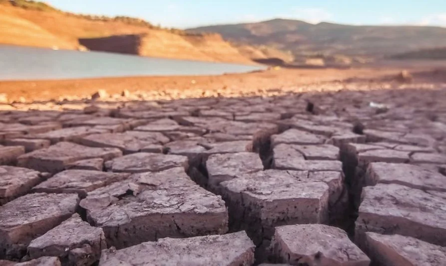
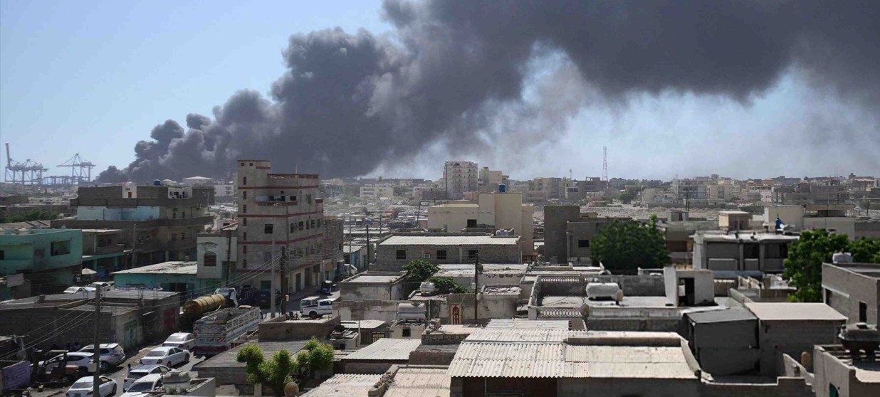
World Met Organisation warns strong El Niño could trigger extreme weather worldwide
Listen
Read this story aloud
Listen to the clean text version of this article.
According to WMO, El Niño is likely to become much stronger between July and September before reaching its peak towards the end of the year, increasing the risk of extreme weather in many regions.
More To Read
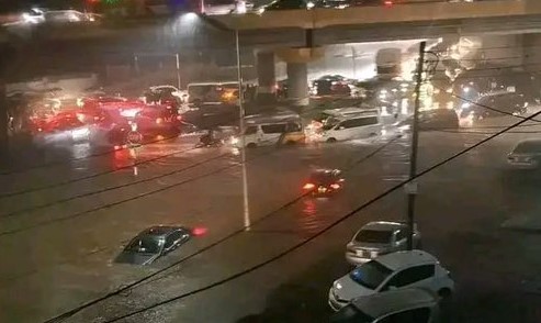
- Severe flooding cripples Nigeria's commercial hub Lagos
- Global food production to slow in the year ahead - report
- Experts urge early warning investments to avert climate disasters in Horn of Africa
- Fermentation, flavour and the future of food: Making sustainability delicious
- Climate shocks accelerating as El Niño threat looms over already vulnerable regions
- WMO Report: Africa warming faster than global average as climate disasters surge
Latest Stories
- AFRICOM outlines its African-led, US-enabled strategy to address security threats across the continent
- Senator Sifuna fails to secure interim relief as Tribunal declines to halt ODM ouster
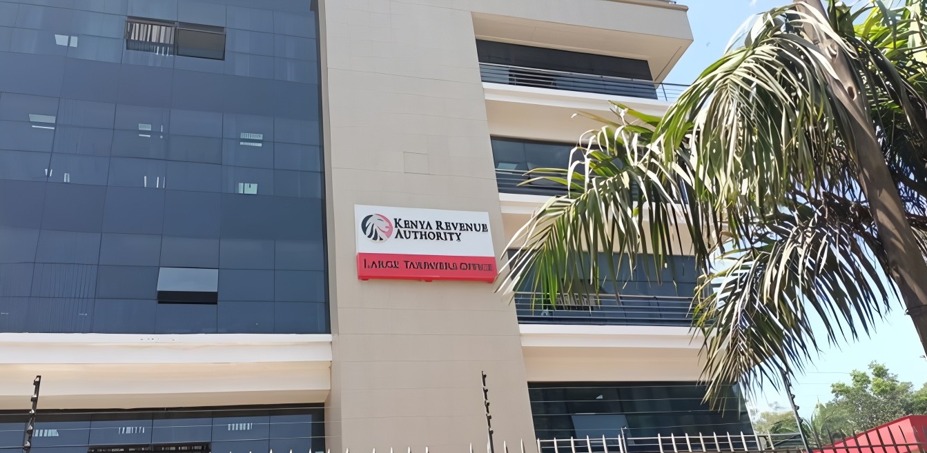
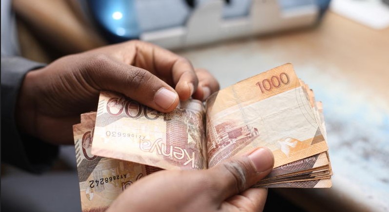
- KRA opens six-month tax amnesty with 100 per cent waiver on penalties, interest and fines
- Venezuelan man rescued alive eight days after powerful quakes
Top Stories Today


Comments
Sign in with Google to comment, reply, and like comments.
Continue with Google