Fear in Mandera East over community land conversion plan
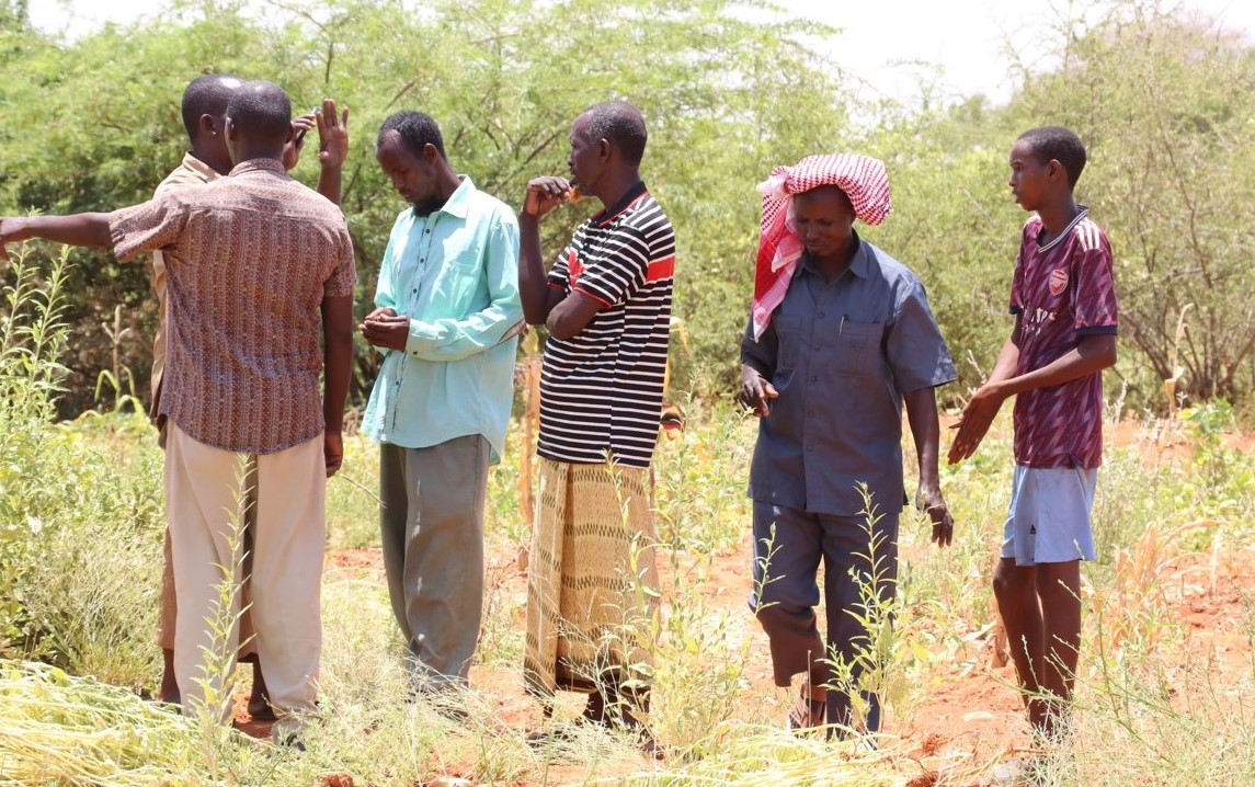
The residents have identified portions of land, including Mikorebe and Garbakole, that they fear might undergo conversion into public property, triggering hostility.
A section of Mandera East residents has expressed concern over a proposal to convert unregistered community land to public property, citing the potential for hostilities.
The proposal is detailed in a newspaper article by County Lands executive Salah Maalim Alio, titled "Intricacies of urbanisation within community lands".
It has sparked fear, with residents saying there might be ulterior motives behind the move. They have identified portions of land, including Mikorebe and Garbakole, that they fear might undergo the conversion.
Former Chief Bishar Mohamed voiced apprehension, highlighting the socioeconomic significance of these lands to the community.
"If these lands are designated as public land, they may not adequately meet our needs," he said, expressing concern over potential disruptions to their way of life.
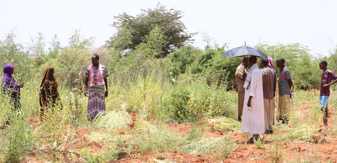 A section of Mandera East residents tend to their Mikorebe farms, a vital source of income. (Photo: File/ Adan Mohamed)
Resident Abdi Hassan emphasised the importance of consulting all affected communities before any actions are taken by the county government.
“Any stakeholder is welcome to do public participation with the community to agree on issues raised,” he said.
In his proposal, Salah explained that such conversions are articulated under the Community Land Act of 2016.
He assured residents that the county government is committed to addressing all land-related issues in the county to ensure sustainable development and community empowerment.
"We are committed to resolving all significant land concerns among residents to ensure everyone's satisfaction," he said.
Salah, however, also outlined various challenges, including an insufficient budget allocation for the department and slow community land registration processes.
He clarified that the county government has no interest in acquiring individual land and reiterated commitment to conducting public participation on all land-related matters, emphasising their role as custodians of land.
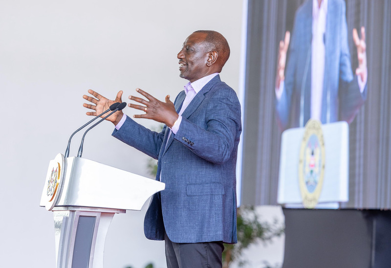
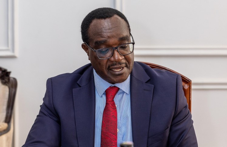
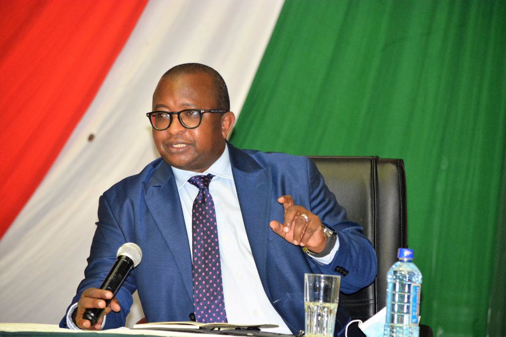
 Mandera County Lands executive Salah Maalim Alio. (Photo: File/ Adan Mohamed)
The Lands boss proposed several approaches to resolving the land issue for the sake of sustainable development, social justice, and the protection of community rights. He noted the need for a multi-faceted approach involving political, legal, social, governmental, and development partners.
Salah highlighted political commitment, saying Mandera and other frontier counties must prioritise land reforms, including allocating resources and demonstrating political will to streamline community land registration processes.
He also spoke of land reforms at the national level to simplify and expedite community land registration processes, while ensuring that local land tenure systems are recognised and protected.
Salah also noted the need for capacity building by the county and national governments, and development partners, through investment in training and the hiring of more land registrars and land management professionals to accelerate the registration process and enhance land governance.
"Public awareness campaigns must be conducted to educate communities about their land rights and the importance of registering their land," he also said, adding that communities should be empowered to actively participate in land management and decision-making processes, enabling them to protect their land from encroachment.
Salah further highlighted collaborations by the government and non-governmental agencies to facilitate the registration of community lands and resolve land disputes, including using alternative justice systems while seeking partnerships with development organisations and donors to secure funding for land registration initiatives and capacity-building programmes.
The CEC acknowledged the use of Ardhi Sasa, "an online platform that allows Citizens, stakeholders and interested parties to interact with land information held and processes undertaken by government".
He also noted, however, the importance of integrating modern land management technologies, such as LIMS-Land information management systems, and Geographic Information Systems (GIS), to improve land records and transparency in ASAL regions.
Top Stories Today
