Brace for colder nights in next five days, weatherman tells Kenyans
This forecast comes as the country faces a potential long dry spell this month.
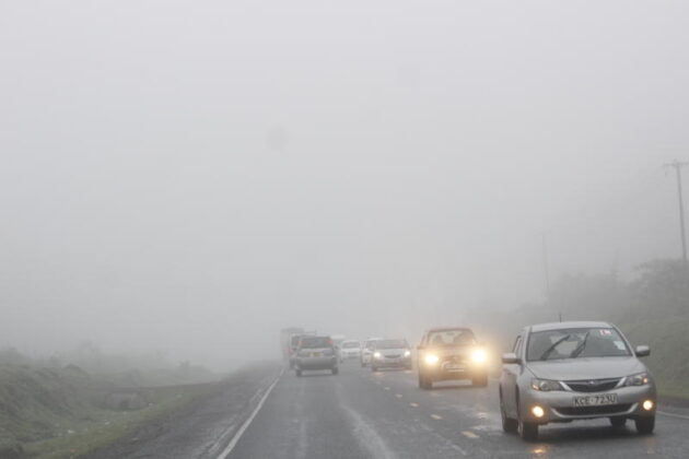
Kenyans should brace for significantly colder nights over the next five days, with temperatures in some areas expected to drop to as low as 5°C, the weatherman has said.
According to the forecast, the chilly weather is predicted to affect various parts of the country, including a potential for light rains in the Rift Valley.
More To Read
- Africa’s land holds the future of climate adaptation: Why COP30 can’t overlook it
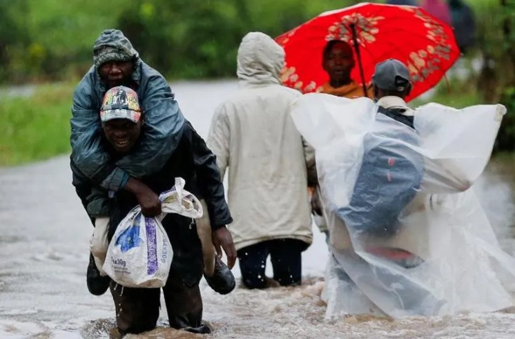
- Nairobi County issues public health alert as heavy rains trigger flooding, contamination fears
- Five-day forecast predicts intense rainfall across the country
- Weatherman warns of heavy rains, as Cyclone Chenge approaches Kenyan coastline
- Met Department issues heavy rainfall warning for Western, Rift Valley regions
- Nairobi among several counties to experience showers and thunderstorms this week - Weatherman
Kenya Meteorological Department Director David Gikungu stated that temperatures in counties like Nairobi, Nyandarua, Laikipia, Nyeri, Kirinyaga, Murang'a, Kiambu, Meru, Embu, and Tharaka Nithi — collectively known as the highlands east of the Rift Valley — could fall from daytime highs of 30°C to below 6°C at night.
Residents in these regions might want to prepare with extra blankets.
The forecast, which covers the duration up to September 17, indicates that some areas may experience light showers on Monday and Tuesday next week.
While most of the country will remain generally sunny and dry, Gikungu noted that regions in the highlands, the Lake Victoria Basin, and the Rift Valley might see light to moderate rainfall.
Counties such as Siaya, Kisumu, Homa Bay, Migori, Kisii, Nyamira, Trans Nzoia, Baringo, Uasin Gishu, Elgeyo-Marakwet, Nandi, Nakuru, Narok, Kericho, Bomet, Kakamega, Vihiga, Bungoma, Busia, and West Pokot will also experience chilly nights.
Temperatures in these areas are expected to fall below 10°C until Tuesday, with many places likely to experience some rain.
In contrast, the north-western regions, including Turkana and Samburu counties, as well as northern-western Kenya and the Coast, are predicted to have warmer temperatures and relatively cooler nights.
This forecast comes as the country faces a potential long dry spell this month.
The meteorological department has previously advised that eastern Kenya may experience drought conditions due to a developing La Niña.
However, Gikungu clarified that this La Niña event is expected to be weak, reducing the likelihood of widespread drought.
Looking ahead, the three-month forecast for October through December suggests that western Kenya will continue to receive near to above-average rains.
Central Kenya is anticipated to experience a fair distribution of rain, while eastern Kenya and areas bordering Somalia are expected to see significantly reduced rainfall.
Gikungu explained that this weather pattern will be influenced by weak La Niña conditions and a neutral Indian Ocean dipole. La Niña typically results in lower rainfall in Kenya. He advised that the country should maximize agricultural production despite the limited rains to counteract potential drought effects.
"The expected deficit in rainfall over the eastern sector of the country is likely to lead to an alert phase of the drought early warning system, which might escalate to an alarm phase as the season progresses," he said.
The short rains are forecasted to start late in most regions, except for western Kenya, where ongoing rains will continue.
The rainfall patterns this year are expected to resemble those of 2020, though this comparison is meant for reference rather than a precise forecast.
Top Stories Today