Tanzania to redraw national map to curb land disputes
Land disputes have been a longstanding issue in Tanzania, particularly in rural and semi-urban areas where unclear boundaries and overlapping claims have led to conflicts among individuals, communities, and even government institutions.
The Tanzanian government has announced plans to redraw its national map to address land disputes and improve territorial management.
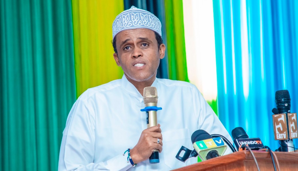
According to The Citizen, Tanzania’s Minister for Lands, Housing, and Human Settlements Development, Deogratius Ndejembi, stated that the government is committed to resolving disputes that have hindered progress in several regions.
More To Read
- Tanzania bans use of foreign currencies for local transactions
- Tanzania lifts Ban on Malawi, South Africa agricultural imports after diplomatic truce
- Tanzania police detain Chadema officials on way to court for Tundu Lissu treason hearing
- Tanzania hits back at Malawi, South Africa with trade ban on agricultural products
- Tanzania opposition leader Tundu Lissu moved to Ukonga Prison amid treason case
- Tanzania threatens trade ban on Malawi and South Africa over continued import restrictions
“This exercise will ensure clear boundary demarcations, reduce conflicts, and provide a framework for sustainable land use,” he said.
Land disputes have been a longstanding issue in Tanzania, particularly in rural and semi-urban areas where unclear boundaries and overlapping claims have led to conflicts among individuals, communities, and even government institutions.
Experts argue that a modernized national map will provide clarity, aiding both private and public sector development projects.
During the launch of the 2023 edition of the National Land Policy of 1995, on Monday, Tanzanian President Samia Suluhu said that the project aims to enhance land planning, ensure accurate land data and prevent disputes that have affected both urban and rural areas.
She said that as part of preparations, $65 million (Sh8.4 billion) was provided by South Korea to improve surveying and mapping infrastructure and emphasize the significance of the initiative.
President Samia also said that the government will use advanced geospatial technology anchored by the National Spatial Data Infrastructure (NSDI) project to ensure accurate mapping and avoid past challenges.
“The new mapping system will prevent duplication of land usage plans. It will enable different government sectors to coordinate their land use strategies, ensuring that infrastructure development, industrial expansion and agricultural projects do not overlap or dispute,” she said.
"The system will support underground power infrastructure, helping the country advance while preserving its aesthetic appeal."
She also noted that the effort will also benefit private sector entities that rely on accurate data for their operations.
While referring to Tanzania's founding leader, Julius Nyerere, who described the land as a key pillar of national prosperity, Samia noted that the Ministry of Lands which once focused on dispute resolution is now a key pillar of national prosperity.
She also noted that there was a budget increase for the land sector which rose from 133.6 billion Tanzanian Shillings (Sh6.5 billion) in 2023 to Sh171.4 billion Tanzanian Shillings (Sh8.3 billion) for the year 2024/2025 financial year.
Updated policies
The president emphasized the need to update Tanzania's policies to meet current demands, noting that outdated policies do not reflect the changing social and economic landscape.
She highlighted efforts to eliminate gender biases, ensure equal land rights, and enhance land use in sectors like the blue economy, focusing on sustainable water management.
The exercise will involve consultations with local communities, landowners, and regional authorities to ensure inclusivity and transparency in the process.
She also said that the government has secured $114 million (Sh18.5 billion) including $49 million (Sh6.3 billio) from the World Bank to ensure land ownership security.
Lands Minister Deogratius Ndejembi also said that he is committed to ensuring that land-related disputes are minimised and that land ownership remains secure.
He said that the government has set a 2030 target to complete surveying, crucial as Tanzania’s population grows from nine million in 1961 to 68 million in 2025.
The new system will categorize land into reserved, government-owned, and citizen-designated areas to minimize disputes and promote sustainable development.
“Land surveys are very crucial to determining how our land can be used to benefit both present and future generations,” he said.
With land being a critical factor in economic growth, officials believe that a well-defined mapping system will not only resolve disputes but also unlock new opportunities in agriculture, infrastructure, and investment.
Top Stories Today