Turkana County launches digital WASH Map to revolutionise water management
According to the county water department, the tool is designed to simplify and centralise water data, enhancing planning, monitoring, and decision-making processes essential for sustainable water service delivery.
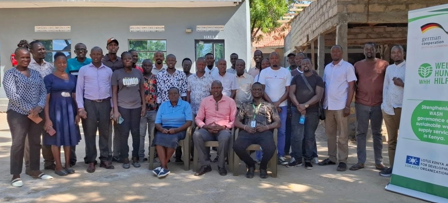
Turkana County is set to transform the management of its water resources with the launch of a digital dashboard that visually maps and monitors water infrastructure across the region.
The innovative platform, named the Turkana Water, Sanitation and Hygiene (WASH) Map, is a collaborative effort between the county government, the Lokichar-based organisation LOKADO, and Welthungerhilfe Kenya, which is funding the project.
More To Read
- Turkana marks World AIDS Day with stark warning over rising HIV infections
- Review meeting highlights barriers to immunisation, maternal health in Turkana
- Daua Dam, irrigation masterplan gain momentum after high-level talks in Nairobi
- Mandera marks major sanitation milestone as 64 villages achieve ODF status
- Turkana stakeholders urge reforms to fisheries Bill to protect local fishers and blue economy
- Lake Victoria Fish farming booming but pollution and disease are wiping out millions: How to reduce losses
According to the county water department, the tool is designed to simplify and centralise water data, enhancing planning, monitoring, and decision-making processes essential for sustainable water service delivery.
The dashboard will display key performance indicators in a user-friendly format, enabling stakeholders to track infrastructure performance, identify service gaps, and plan targeted interventions.
Speaking at the launch meeting, Paul Lotum, Director of Water Services, highlighted the strategic importance of the dashboard in shaping the future of water provision across the county.
Historical water data
"When water resources are managed well, no one should suffer from thirst or hunger, and no livestock should die," he noted, adding that the dashboard will be continuously updated with sanitation and historical water data collected from various initiatives.
Felix Tomno, Turkana East Sub-county Water Officer, emphasised the dashboard’s role in groundwater mapping, noting that identifying low-potential areas early could save resources and guide appropriate action.
"Mapping areas with high fluoride or salinity levels will help us develop specific interventions to ensure safe water access," he said.
Anderson Koskey, Senior Drilling Superintendent, added that integrating borehole data will allow for efficient mapping of water points, supporting both current and future water needs. The dashboard will also enhance geophysical investigations by pinpointing potential aquifer zones based on the analysed data.
Dennis Ekiru, LOKADO WASH Liaison and session facilitator, stressed the importance of high-quality data and urged compliance with drilling standards to ensure the dashboard’s effectiveness.
From a regulatory perspective, Josephine Oyaro, Licensing Officer from the Water Resources Authority (WRA), welcomed the tool as a vital asset for monitoring legal compliance and curbing illegal borehole activity.
"The dashboard will provide GPS coordinates that allow WRA to locate licensed boreholes and identify unregulated ones for enforcement," she said.
Meeting participants engaged in detailed discussions, identified gaps in current data and functionality, and made recommendations to refine the dashboard as it moves toward full implementation.
Once completed, the Turkana WASH Map is expected to become a cornerstone of sustainable water governance, supporting long-term planning, conserving resources, and improving access to clean water for communities across the county.
Top Stories Today