Mandera County launches land digitisation initiative to curb corruption
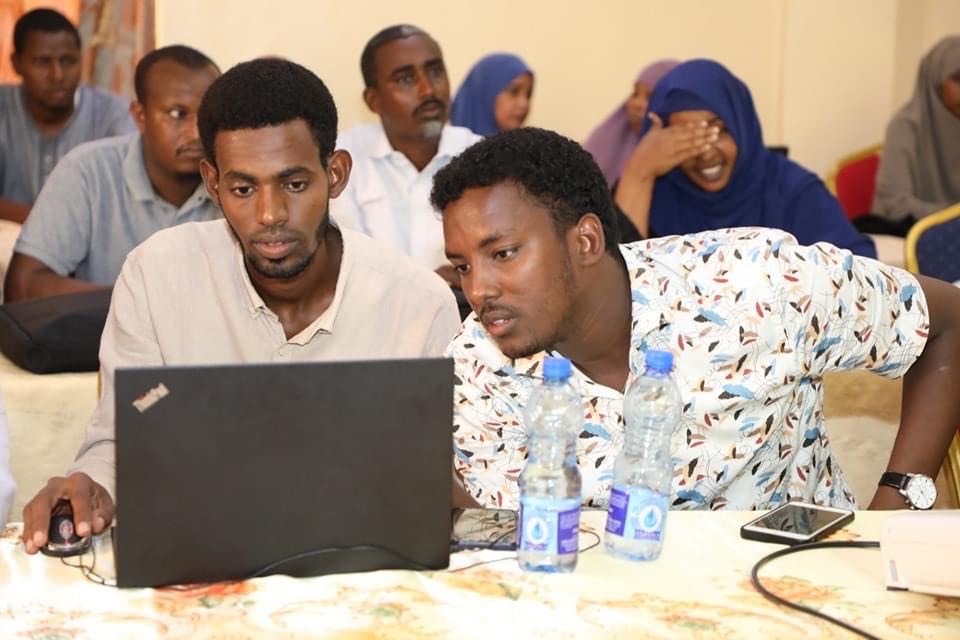
The county Lands executive urged communities in Mandera to support the digitisation initiative which aims to provide access to effective land governance.
Mandera County has embarked on transitioning the land sector from a manual to a digital system through the Land Information Management System (LIMS).
The project, initially piloted in Mandera East Sub-County, aims to enhance revenue generation, resolve conflicts, and improve the security of land records.
More To Read
- Mandera County declares severe drought emergency as water sources dry up
- Mandera County Commissioner assures residents of security ahead of Banisa by-election
- Parliament probes illegal subdivision of Kenya Veterinary Vaccines Institute land
- Mandera launches emergency food aid for 15,000 amid deepening drought
- MPs demand full disclosure of public land in legal disputes amid missing title deeds
- Mandera residents challenge gazette-only notices in landmark land case
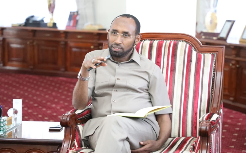
Salah Maalim Aliyow, the Mandera County Executive Committee Member for Lands, Housing, and Physical Planning, stated that the county has taken the lead among North Eastern counties in digitising the land sector. This includes implementing LIMS at all sub-county headquarters in Mandera, following the success of the system in Mandera East.
“Digitisation has been identified as one of the most effective and efficient methods of land administration and management. We expect this initiative to transform the sector,” he said during a phone interview.
He noted that the county has already begun training land surveyors and support staff in land administration, physical planning, land surveying principles, and the Geographic Information System (GIS).
The county lands executive explained that the training is designed to help staff understand their respective roles in supporting LIMS through land use planning, surveying, allocation, and registration.
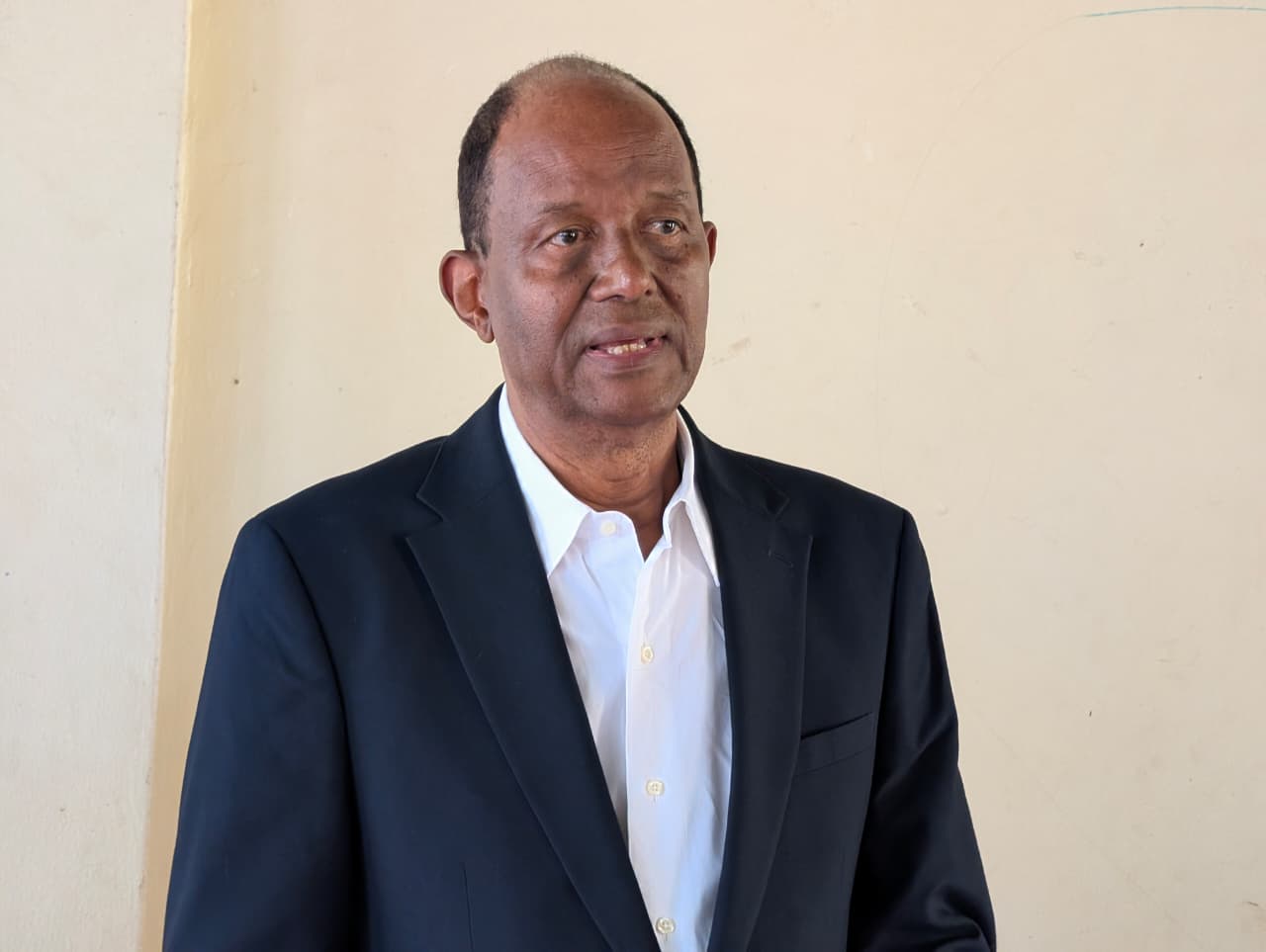
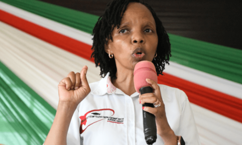
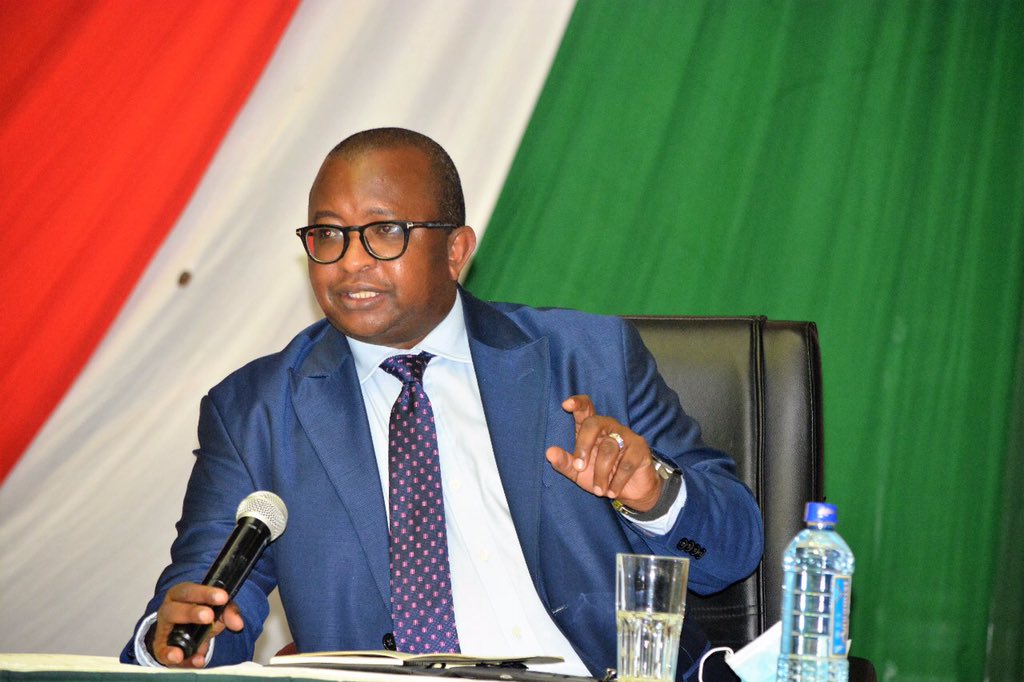
 Salah Maalim Aliyow, the Mandera County Executive Committee Member for Lands, Housing, and Physical Planning addressing the team trained to undertake the digitisation initiative. (Issa Hussein)
He further highlighted that the digitisation initiative is expected to improve service delivery, facilitate easier land transactions, and address longstanding issues of disputes and fraud in the land sector.
“In the process of digitising land records, essential details are recorded, including land maps, mutations, identity card information, photographs, and documentation of how the land was previously acquired. This will effectively eliminate numerous cases of land dispossession through fraudulent transactions and corruption,” he said.
Salah emphasised that the initiative aligns with Kenya's Vision 2030, which calls for a shift from manual, paper-based systems to digital ones. He added that the 2010 Constitution also mandates a complete overhaul of land administration to ensure better coordination and improved services for citizens.
The county executive urged communities in Mandera County to fully support the digitisation initiative, which aims to provide access to effective land governance.
Top Stories Today

